|

|
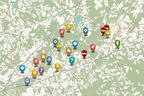
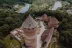
1. Sigulda Railway Station
|
|

|
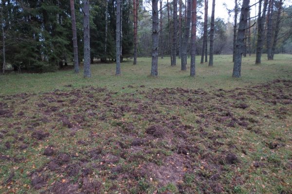
2. Raiņa Park
Pay attention!
En route from the town centre to the valley of the River Vējupīte, roe deer is seen early in the mornings in the meadow near Līvkalna Street. Along Līvkalna Street there is an alley of oaks — a place to study lichen, moss, and polypores (e.g. sulphur shelves).
|
|
|
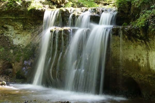
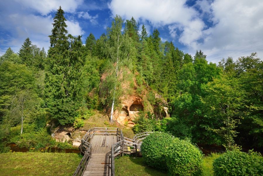
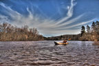
3. River Vējupīte
Left tributary of the River Gauja. Length — 14 km, gradient — 88 m.
|
|
|
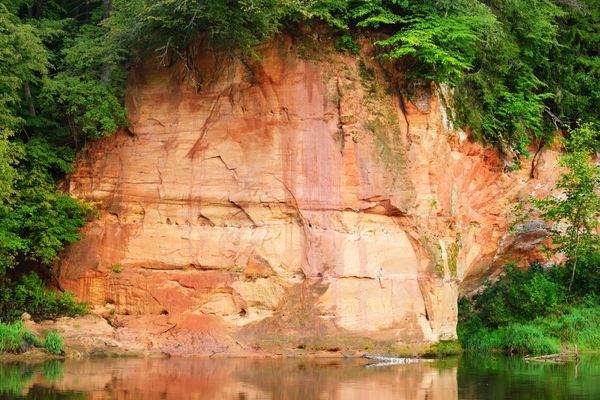
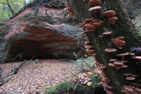
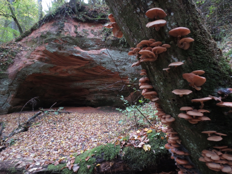
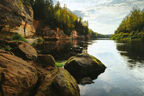
4. Vējupīte Ravine
On the banks of Vējupīte Valley, there are popular Sigulda tourism sites, such as Kraukļu Ravine and Pētera Cave.
Pay attention!
The banks of Vējupīte Ravine are covered in forests of slopes and ravines with large-size decayed wood and deadwood. Here one can spot traces that woodpeckers have left on tree trunks. Ball-shaped sandstone is found on the riverbed of rivers Vējupīte and Kraukļupīte. The polypodies and common fragile fern are growing on the sandstone outcrops. The patina seen at some places on the sandstone walls is actually the velvet lichen. The ground cover of the forest reveals common moss like glittering wood-moss, red-stemmed feathermoss, goose-necked moss, and ostrich plume feathermoss. Various species of fern. On fallen trees and stumps — sulphur shelves, red banded polypore, Dryad’s Saddle, and other species of mushrooms decaying the timber.
|
|
|
5. Farmstead “Kalna Klaukas”
The section of primeval valley wall from Kalna Klaukas to Rāmnieku Brook is included in Nurmiži Glen Reserve which is closed to visitors. The road and its adjacent area are open to hikers and cyclists taking the route.
Pay attention!
The following common plant species are found near the trail: common yarrow, wild thyme, Burnet-saxifrage, annual meadow-grass, meadow buttercup, sticky catchfly, spiked speedwell, cock’s-foot, germander speedwell, cow parsley, perennial honesty, baneberry, wood-sorrel, maple, oak, lily-of-the-valley, dog’s mercury, common hazel, spindle, etc.
|
|
|
6. River Dauda
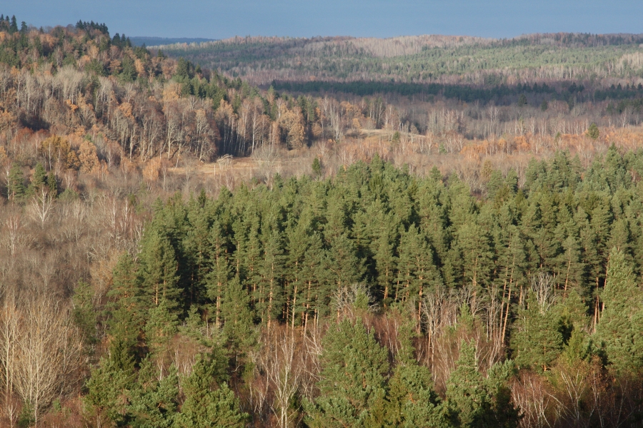
Left tributary of the River Gauja with a canyon-like ravine up to 40 m deep, which is rich in sandstone outcrops. Dauda Ravine is located in the Nurmiži Glen Reserve.
Pay attention!
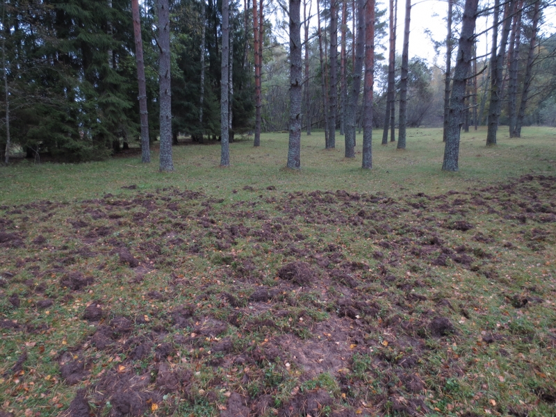
At some places you shall see traces of wild boar, while ashore of the oxbow lakes — traces of beavers.
|
|
|
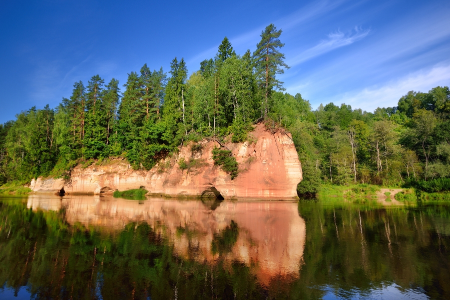
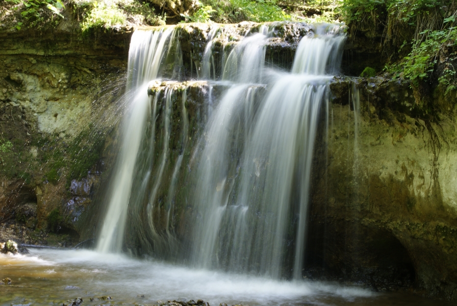
7. River Sviķupīte
Left tributary of the River Gauja, at the lower reaches of which there are the Sviķupīte outcrops (Gauja suite sandstone), which are seen over a section of 600-800 m.
|
|
|
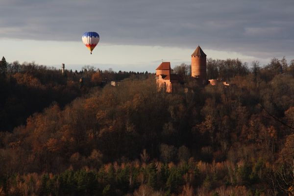
8. Mound Sautas
Impressive rock pillar on the left side of the primeval valley wall of the River Gauja, enclosed by the deep ravines of Rivers Sviķupīte and Nurmižupīte. Located in Nurmiži Glen Reserve, and therefore can be observed from distance.
|
|
|
9. Rāmnieku Brook
A small left tributary of the River Gauja, furthest northern border of Nurmiži Glen Reserve.
|
|
|
10. Dagnes (Gančausku, Sūruma) Cave
Tildurga Brook, before entering the River Gauja, has washed out a small “canyon”, and on the left bank of it there is a cave-like gallery.
|
|
|
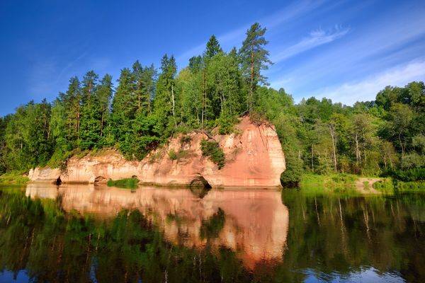
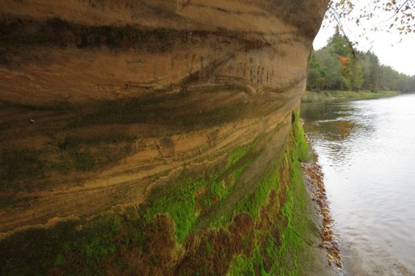
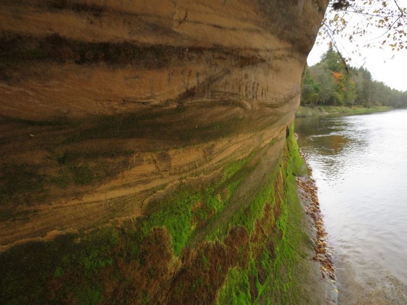
11. Elpju Rock
Approximately 9 m high reddish sandstone outcrop from the Gauja suite.
|
|
|
12. River Vildoga (also Jāņupīte)
Left tributary of the River Gauja with a deep ravine and an impressive vertical fall (ca. 10 m/km).
|
|
|
13. Rock Launagiezis (also Ērmaņu Rock)
Around 600 m long and steep slope of the right side of primeval valley wall of the River Gauja covered with forests, at the feet of which there is the scenic sandstone outcrop (up to 20 m high).
|
|
|
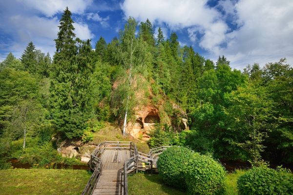
14. Tītmaņu Rock
The approximately 12 m high and reddish sandstone outcrop from Gauja suite is located on the left slope of primeval valley wall of the River Gauja (~0.5 km off the river). The outcrop features Līgotņu Cave and two galleries.
|
|
|
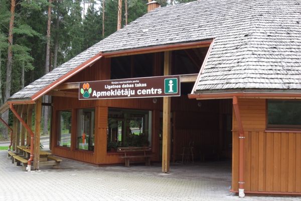
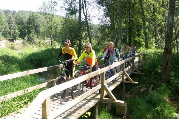
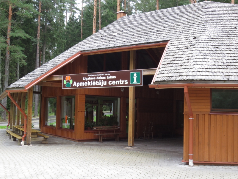
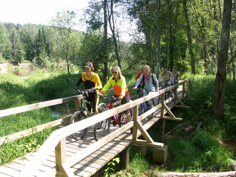
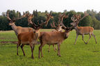
15. Līgatne nature trails
Not far from Līgatne, on the banks of the primeval valley of the River Gauja and its tributaries there is a dense network of trails with fencings enclosing wild animals of Latvia — stags, elks, roe deer, wild boar, bears, foxes, lynx, and two species of birds, living in conditions similar to the wild.
|
|
|
16. Jumpravu Rock
Sandstone outcrop on the left bank of the River Gauja, which runs far into the forest like a steep and rocky slope, where its feet are washed by the waters of a brook.
|
|
|
17. Līgatne Ferry Crossing
|
|
|
18. Līgatne Paper Mill
|
|
|
19. Līgatne Village
|

 News
News
 Events


.jpg?w=144&h=96&mode=crop)