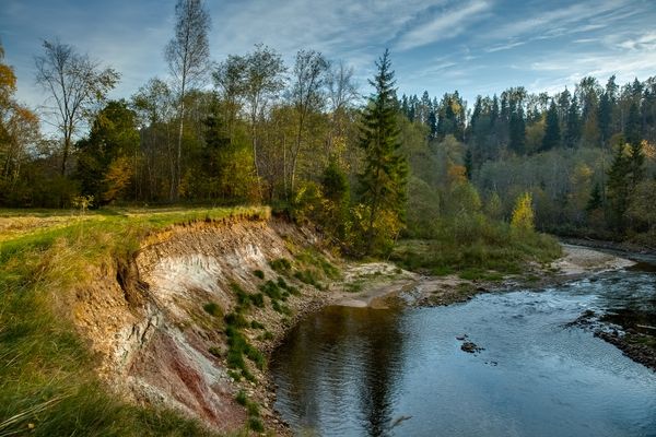
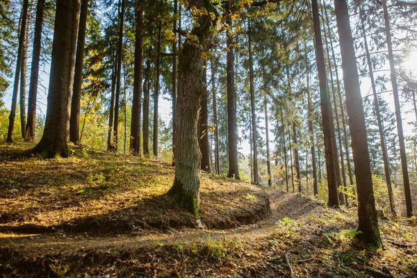
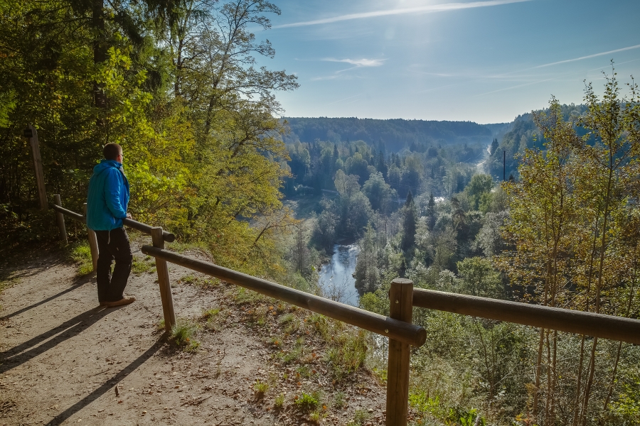
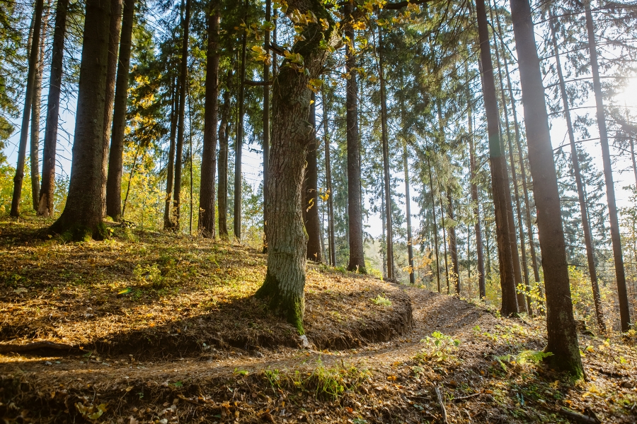
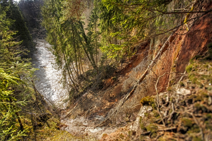
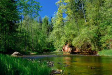
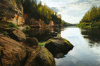
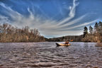
The path leading along the right bank travels through the upper and lower part of the valley, and therefore at some places difference of more than 40 m in height is experienced. This is sort of a geo-tourism route with an insight of dolomite and sandstone outcrops from the Devonian Period which are found in the primeval valley of the River Amata shaped by the glacier.
|
|
Best time to go April–October. |
|
|
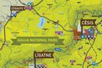
Route Amatciems – Melturi – Kārļamuiža – Kārļi – Zvārte Rock – Veclauču Bridge. |
|
|
Distance ~21.5 km. The route can be made by combining any of its sections: 1) Amatciems–Melturi 5 km, 2) Melturi–Kārļi 3.5 km, 3) Kārļi–Zvārte Rock 9.5 km, 4) Zvārte Rock–Veclauču Bridge 3.5 km. |
|
|
Duration 8–11 h, where: 1) Amatciems–Melturi 2 h, 2) Melturi–Kārļi 3 h, 3) Kārļi–Zvārte Rock 4 h, 4) Zvārte Rock–Veclauču Bridge 1–2 h. |
|
|
Difficulty level Difficult due to the steep and high banks and deep lateral ravines. |
|
|
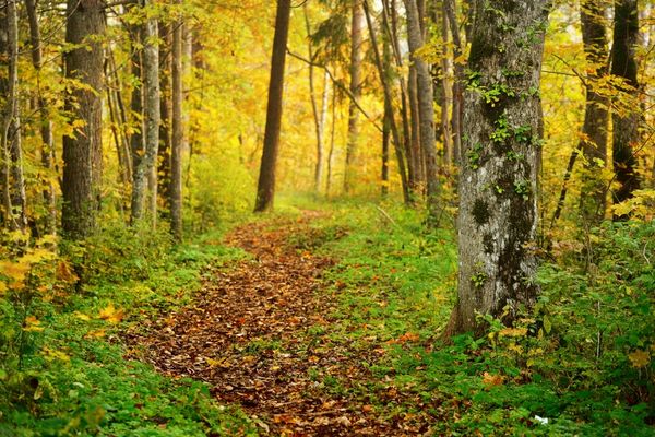
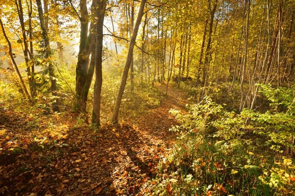
Road pavement Mainly forest paths; gravel road in section Amatciems–Melturi. |
|
|
Starting point/Destination In Amatciems or at the road Riga–Veclaicene (A2) on the right bank of the River Amata, near the bridge; however, it can be started at any point of the route Veclauču Bridge, destination for canoe-riders “Amata”, or any other place. |
|
|
Way marking Orange and bright red blazes — diamonds on tree trunks (in the section from Melturi to Veclauču Bridge). |
|
|
Distance to Riga Starting point 75 km, destination 85 km. |
|
|
Worth knowing! Suitable hiking footwear needed. During wet weather, the route can be unsafe due to the steep slopes. During spring, autumn and other periods, dolomite landslides and landfalls are possible; be careful and watch your step! Do not climb on the outcrops; do not damage these. When the water level is low, you can cross the River Amata at many sites. The left bank of the River Amata in the section from Zvārte Rock meadow to Veclauču Bridge is part of Roči Forest Reserve, and entrance is prohibited! Hiking outdoors is at one’s own risk. Emergency services: 112. |
|
|
Recommendation The route can be merged and circular routes can be made in the vicinity of “Karlamuiza Country Hotel”. You can park the car at the hotel: 1) landscape trails in the vicinity of “Karlamuiza Country Hotel” with a visit to the Kārļi fish breeding farm and Ainavu Cliff — 5.5 km; 2) “Karlamuiza Country Hotel” – Ainavu Cliff – Stūķu Rock – Dzilnas Rock – Zvārte Rock – “Karlamuiza Country Hotel” ~15 km with one part of the route leading along the river, while the other — along forest paths; 3) resort hotel “Jonathan SPA Estate” – private house “Biržakas” – guest house “Melturi” – railway station “Melturi” – resort hotel “Jonathan SPA Estate” ~15 km with one part of the route leading along roads on the right bank of the River Amata and the former railway track on the left bank. |
 |
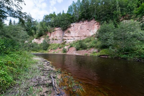
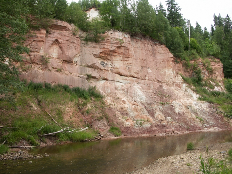
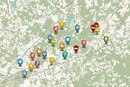
1. Primeval valley of the River AmataOne of the deepest river valleys in Latvia — at maximum the primeval valley reaches ~50 m and its width is 1–1.5 km. |
 |
2. “Jonathan SPA Hotel”A hotel in Amatciems — facilitated, scenic, forest-enclosed village offering angling opportunities. Listen to the green frogs singing in summer evenings. |
|
|
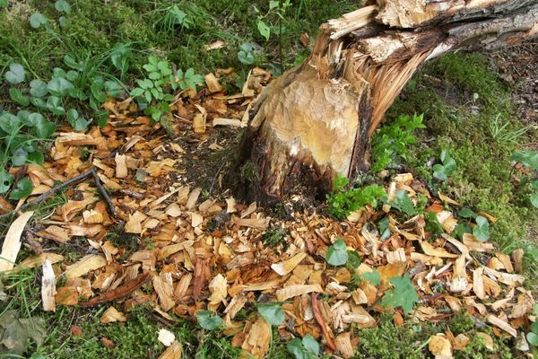
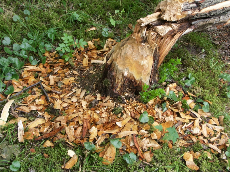
3. Guest house “Melturi”In forest curve, on the riverside of Amata. Near the river one can see the rough horsetail, traces by beavers, coral, and chaga mushrooms. |
|
|
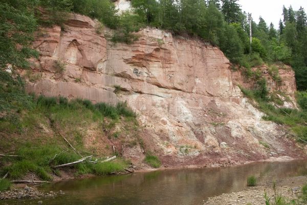
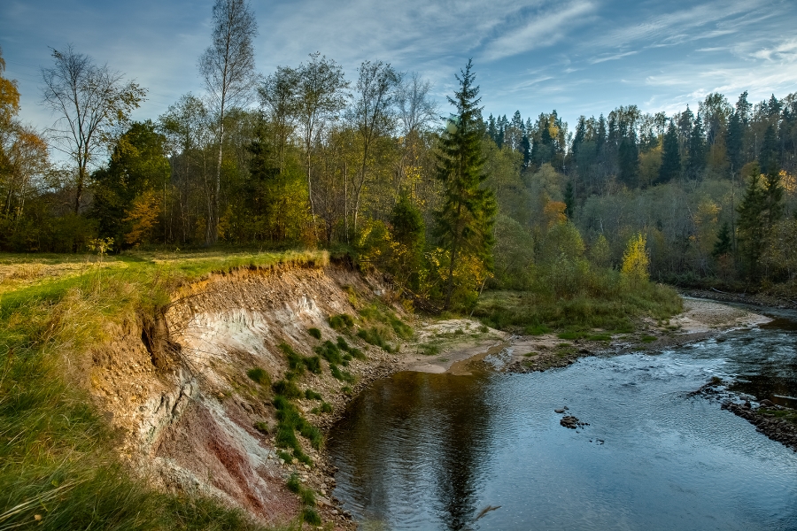
4. Īļaku RockAround 100 m long and up to 25 m high cliff of the right bank of the River Amata with dolomite outcrops from the Devonian Period. |
|
|
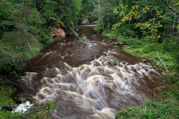
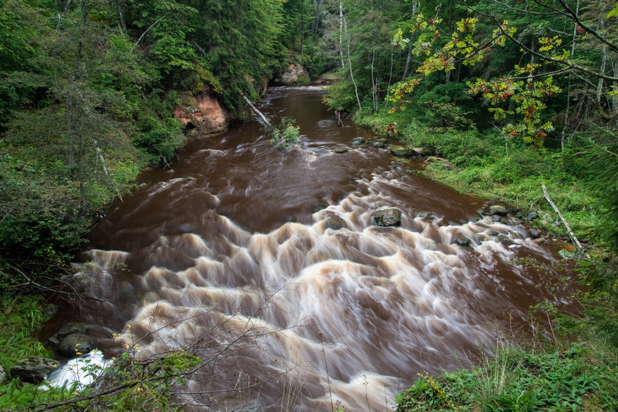
5. Vizuļu RockAround 150 m long and up to 30 m high cliff on the left bank of the river with light sandstone and dolomite outcrops, out of which springs are coming (which turn into frozen waterfalls in deep winter). Pay attention! Ball-shaped sandstone is found on the riverbed of the River Amata, rapid river sections, which are specific river habitats. |
|
|
6. Dolomītu CliffAround 150 m long and up to 25 m high cliff at the top of which there are 5–6 m high dolomite and dolomitic marl outcrops. Pay attention! Traces by three-toed woodpecker and other woodpecker species on trees. Oxbow lake of Amata and traces of beavers. |
|
|
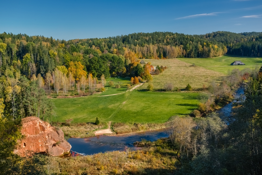
7. Dambja RockUp to 30 m high cliff on the right bank of Amata with dolomite and sandstone outcrops on its upper part. |
|
|
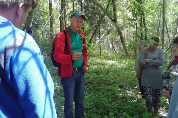
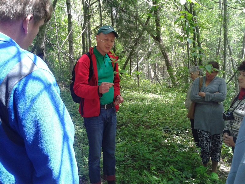
8. Kārļi fish breeding farmOne of the oldest Latvian fish breeding farms with a significant role in preservation of the wild population of salmon-like fish — salmons, trouts, and brown trouts — in Latvia. Excursions subject to prior announcement. Pay attention! Excellent diversity of butterflies and dragonflies within a relatively small area thanks to the banks of the River Amata, adjoining meadows, Kārļi mill pond, nearby forests, and other habitats. Particularly interesting is the Melturi–Kārļi section in May, but you can visit it at a later period as well. Here you can spot the clouded apollo and longhorn beetle on wood cranesbills. |
|
|
9. Hotel “Karlamuiza Country Hotel”There are hiking trails nearby leading along the landscape park and beautiful banks of the River Amata. |
|
|
10. Ainavu CliffAround 0.5 km long and up to 46 m high cliff features two impressive sandstone and dolomite outcrops — the so-called Bizenes Rock and Ainavu Rock offering beautiful views from top of the cliff over the valley of the River Amata. Pay attention! Nearby are forests of slopes and ravines, which are protected habitats. |
|
|
11. Ķaubju RockAround 50 m long and up to 45 m high cliff (one of the highest in Latvia) on the left bank of the River Amata. |
|
|
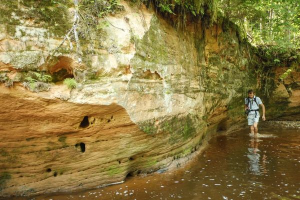
12. Stūķu RockAround 100 m long and up to 40 m high cliff with a 15 m high sandstone outcrop on the right bank of the River Amata. Pay attention! In autumn — huge variety of mushrooms, including polypores, traces of wild boar, lycophytes. Red alga hildenbrandia on the underwater stones in the river. |
|
|
13. Dzilnas RockAround 300 m long and up to 40 m high horseshoe-shaped cliff on the left bank of the River Amata. Pay attention! Active erosion processes and traces of springs in the Dzilnas Rock. |
|
|
14. Incēnu RockAround 500 m long and up to 40 m high cliff with sandstone outcrops from Gauja suite on the right bank of the River Amata. Pay attention! Traces of beavers and beautiful peltigeras on the ground cover or trees covered with lichen. |
|
|
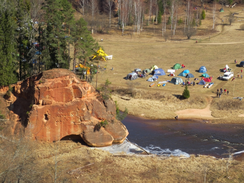
15. Visitor Centre at Zvārte Rock |
|
|
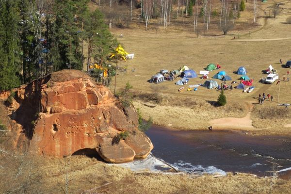
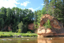
16. Zvārte RockIn front of the ca. 200 m long and up to 44 m high cliff, there is an elevation up to 25 m high. The river-course of Amata has been straightened aimed at preservation of the cliff |
|
|
17. Migla RockIts height varies between 8 and 12 m. In summer it is covered with thick vegetation. |
|
|
18. Čūsku RockA small outcrop on the right bank of the River Amata, behind the suspension bridge. |
|
|
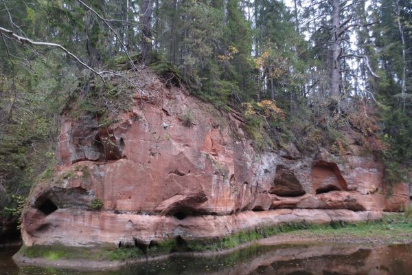
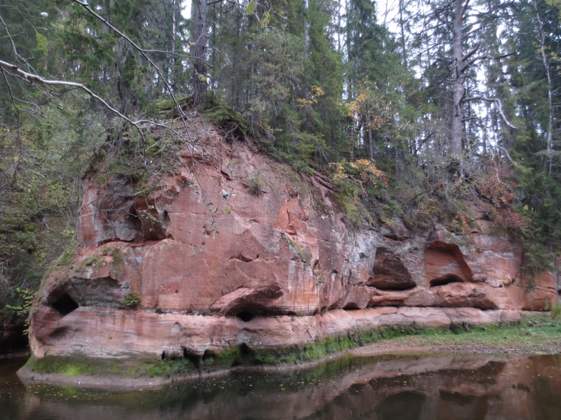
19. Zemais RockOutcrop on the left bank of the River Amata with several galleries — caves preceding the row of Lustūzis outcrops. |
|
|
20. LustūzisA few metres high and very scenic sandstone outcrop. Known as a dangerous place for paddlers during the spring floods. |
|
|
21. Vanagu Rock (Roču Rock, Egļu Cliff)Up to 300 m long and 36 m high cliff covered with trees and featuring 1–15 m high sandstone outcrops from Amata and Gauja suites at the feet of it on the left bank of the river. Springs coming out at the feet of it; cave-like galleries as a result of the current. |
|
|
22. Vizbulīšu CliffsAround 4 m high sandstone outcrop on the right bank of the River Amata, and a large cavity made by the current. |
|
|
23. Palu RockSmall sandstone outcrop on the right bank of the River Amata. Pay attention! Heaps of boulders on the riverbed of Amata. |
|
|
24. Zaļais RockLow, but long outcrop before Veclauču Bridge on the right bank of the River Amata. |
|
|
25. Veclauču Bridge |
|
|
26. Veclauču Rock |
 Zvārtes Rock and its vicinity
 Karlamuiza's landscape park trail
 Amata Geological Trail


.jpg?w=144&h=96&mode=crop)