|
|
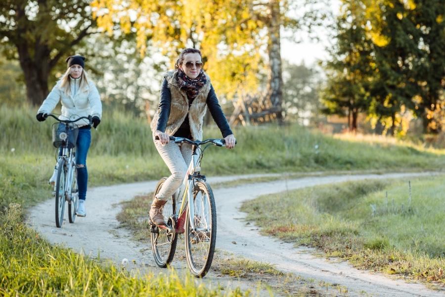
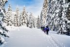
Best time to go End of April–September. Particularly beautiful during the blooming of dandelions and bird-cherry trees. |
|
|
Route Leisure Park “Rāmkalni” – Alderi – Garkalne – Āņi –Baltezers Railway Station. |
|
|
Distance ~40 km |
|
|
Duration Full day, including sightseeing. |
|
|
Difficulty level Easy. |
|
|
Road pavement Asphalt, gravel roads, forest roads and farm tracks. |
|
|
Starting point / Destination Leisure Park “Rāmkalni” located next to road Inčukalns–Valka (A3), on the left bank of the River Gauja, near the bridge / Baltezers Railway Station. |
|
|
Way marking The route is marked in the section to Inčukalns Hunting Lodge and Vangaži Lutheran Church. |
|
|
Distance to Riga Starting point: 40 km, destination: 30 km. |
|
|
Public transportations Linear route with convenient train traffic. To get to “Rāmkalni” step out at Inčukalns Railway Station (railway line Riga–Valga), around 4.5 km long journey. The route ends in the Baltezers Railway Station (railway line Riga–Valga). |
|
|
Worth knowing! Some route sections might be sandy, and muddy during wet weather. Local map is recommended. Prior to heading off one should visit the information point in “Rāmkalni”. Respect the placed information signs! Hiking outdoors is at one’s own risk. Emergency services: 112. |
|
|
Recommendation The tour can be continued to Riga or Ādaži, and further on to Carnikava, where there is a railway station and trains running to Riga. |
 |
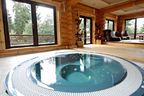
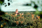
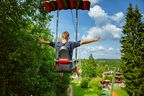
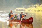
1. Leisure Park “Rāmkalni”Wide range of activities. On the steep banks of Gauja, one shall find the longest summer toboggan track (400 m) in the Baltic States. |
 |
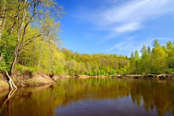
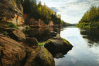
2. Primeval Valley of the River GaujaAlthough its maximum depth (85 m) is reached near Sigulda, views of the primeval valley of Gauja are impressive near “Rāmkalni” as well. Sandstone outcrops dating back to the Devonian Period are among the key natural and landscape values on the banks of the River Gauja and its tributaries. A small sandstone outcrop is seen also opposite of the “Rāmkalni” summer toboggan track. |
|
|
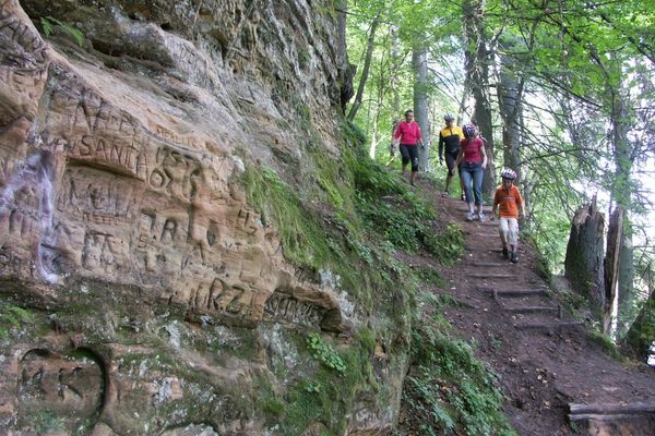
3. Velnala Cave in InčukalnsSandstone outcrop on the slope of left bank of the River Gauja, where a 16 m long and up to 4 m high cave has a narrow crack-like entrance. A spring is coming out of the cave. Two secular trees grow next to the cave — an oak (circumference — 5 m) and a fir-tree (circumference — 3.1 m). Pay attention! Oxbow lakes are seen near Velnala Cave in Inčukalns. |
 |
4. Inčukalns Hunting Lodge |
|
|
5. Līgotņu ArboretumEstablishing an arboretum was initiated in 1964 by the opera singer Anna Ludiņa together with other culture and art experts of Latvia, and more than 80 tree and 130 bush species were planted. |
|
|
6. Vilkaču pine |
|
|
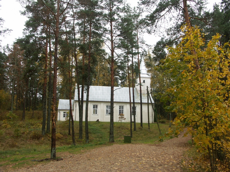
7. Vangaži Lutheran Church |
|
|
8. Settlement Āņi |
|
|
9. Garkalne Lutheran Church |
|
|
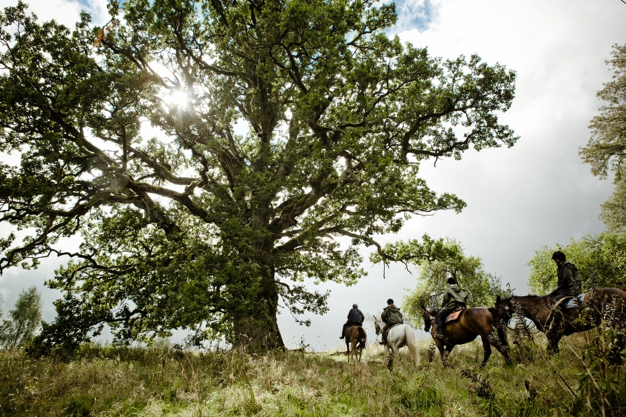
10. AdventureRide horse stableHorse-back riding, training, tours on horses, and rides in a cart or sledge, as well as guides and adventure tours outdoors. |
|
|
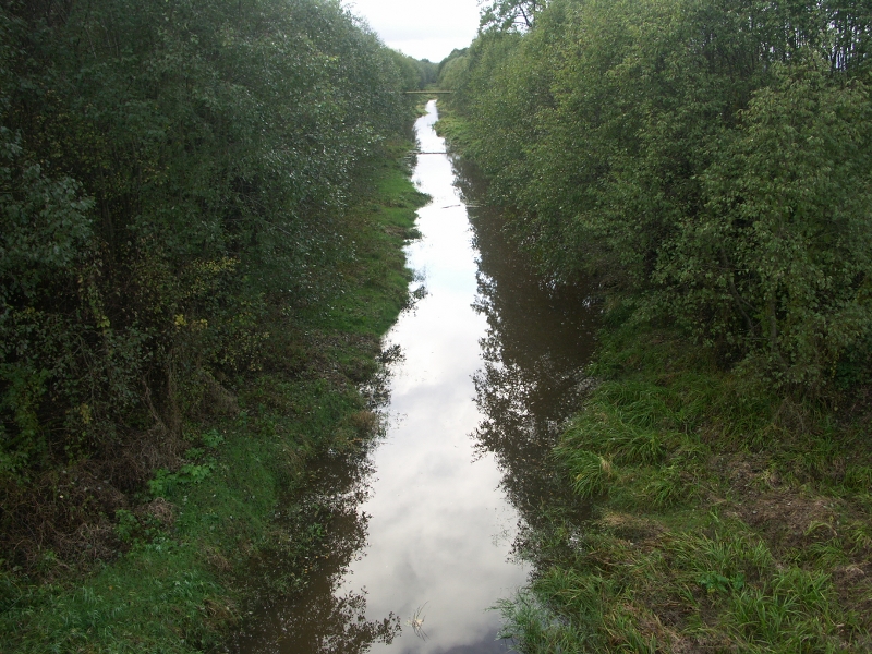
11. Vicinity of Baltezers Railway StationArea between Baltezers Railway Station and Garkalne demonstrates broad sand fields covered with a beautiful pine forest. A pleasant drop in the landscape is Lake Sidrabezers, Lake Sekšu, and Lake Venču. Presence of sand layers and vertical drop towards the sea is the reason why drinking water for the inhabitants of the capital city is extracted especially in this area. |


.jpg?w=144&h=96&mode=crop)