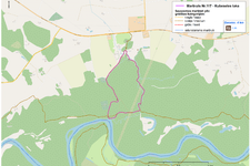
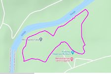
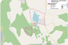
 The wild ravine of the River Vējupīte and Mound Paradīzes
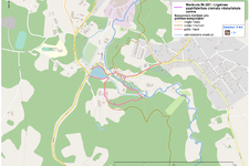
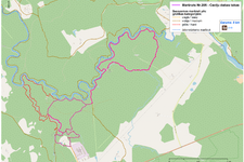
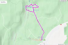
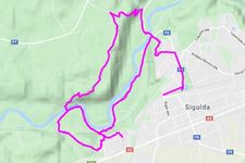
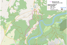 Turaida ravines and caves
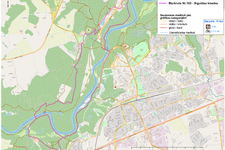
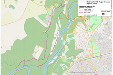
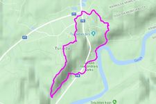
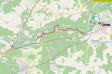
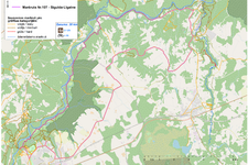 Sigulda-Līgatne
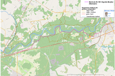
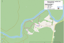
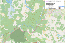
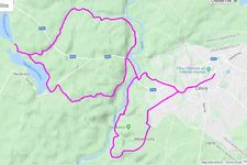
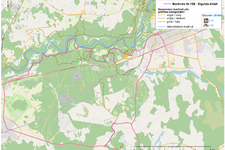 Sigulda-Allaži
 One day around Sigulda and More parish
 Watching Plants on Piķenes Cliff
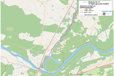 On foot along the banks of the Loja
 Route for mothers with strollers
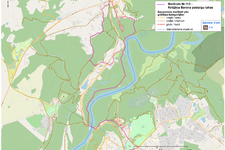 Krišjānis Barons walking trails
 Watching Nature in the Bīriņi Castle Park
 Cecili Nature Trails - 2.6 km circle
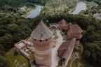
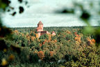
 Turaida Ravines and Caves
 One day around Cēsis
 Best Viewpoints in the Premieval Valley of Gauja
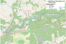
 Rāmkalni - Sigulda. Left bank of Gauja
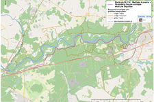
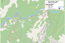
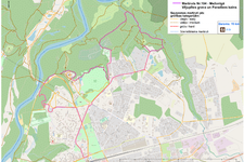
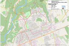
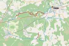 One day around Sigulda and Allaži


.jpg?w=144&h=96&mode=crop)