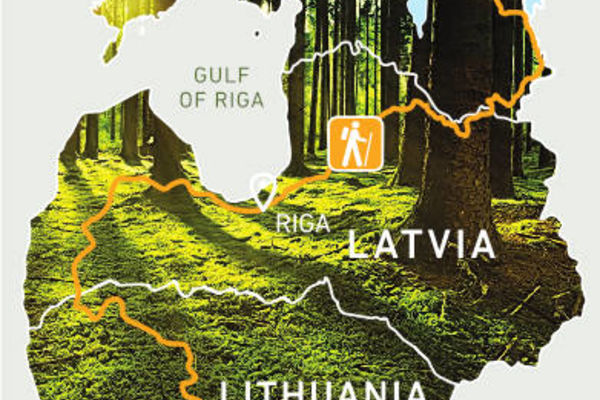
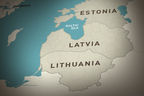
The Forest Trail is a long distance hiking route, part of E11, in the Baltic States that leads through the most forested lands and national parks of Lithuania, Latvia and Estonia. The route starts from the Polish - Lithuanian border near the town of Lazdijai, leads through Latvia, turning into Riga, and finishes in Tallinn, Estonia.
Name in Latvia: Mežtaka
Name in Lithuania: Miško takas
Name in Estonia: Metsa matkarada
Length: ~2140 km, 102-114 days
in Lithuania – 747 km, 36-38 days
in Latvia – 674 km, 31-38 days
in Estonia – 720 km, 35-38 days
The route is divided into ~ 20 km long stages with accommodation and transport options.
Road surface: forest roads and trails, country roads, edges of asphalted roads, sandy or rocky beaches.
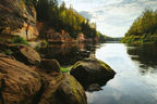
Highest points and valleys: Nemunas Valley and Samogitian (Žemaitija) Highlands in Lithuania, Rietumkursa upland, ancient valley of Abava and Gauja, Veclaicene protected landscape area in Latvia, Pius ancient valley and northern coast in Estonia.
Highlights:
In Lithuania: Dzūkija and Žemaitija National Parks, Nemunas Loop Regional Park, Kaunas.
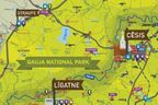
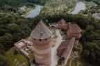
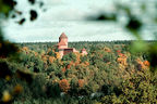
In Latvia: Kuldiga, Abava River Valley Nature Park, Kemeri National Park, Gauja National Park.
In Estonia - Lahemaa National Park, Alutaguse National Park, Suur Munamägi - the highest peak of the Baltic States (318 m above sea level), Lake Peipus - the fourth largest lake in Europe.
More information: https://baltictrails.eu/en/forest
Informējam, ka EnterGauja.com vietnē tiek izmantotas sīkdates. Turpinot lietot šo vietni, Tu apliecini, ka piekrīti sīkdatņu izmantošanas noteikumiem.
Uzzini vairāk šeit >

 News
News
 Events


.jpg?w=144&h=96&mode=crop)