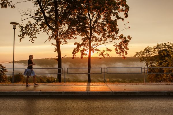
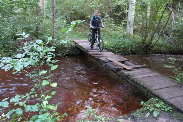
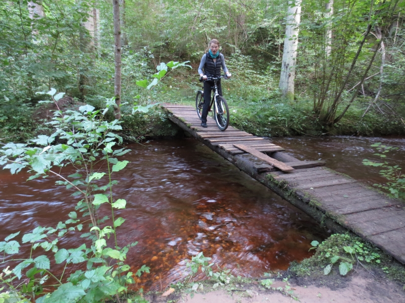
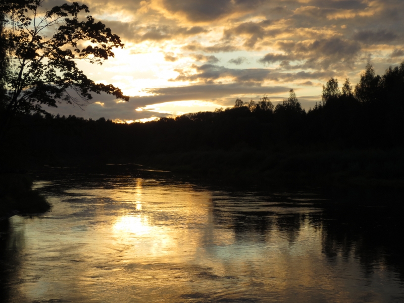
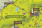
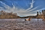
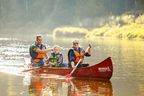
Till the Village Gauja, the route partly overlaps with the former road leading to Vidzeme Region (short, asphalted road sections are still found) and crosses densely populated areas, but from there on to Sigulda it curves through remote forests of the National Park, crossing several deep ravines of the small rivers. The route runs through Gauja National Park. Enjoy it either on foot, or by bicycle.
|
|
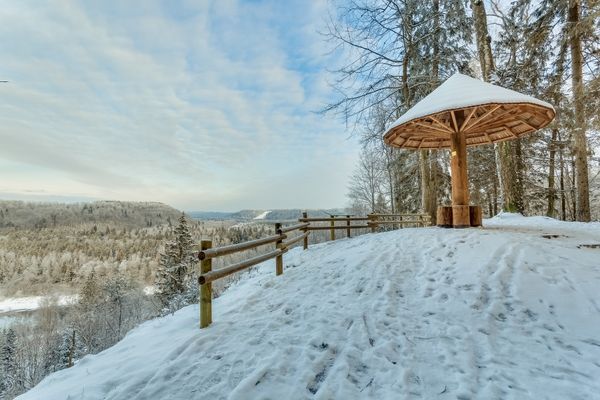
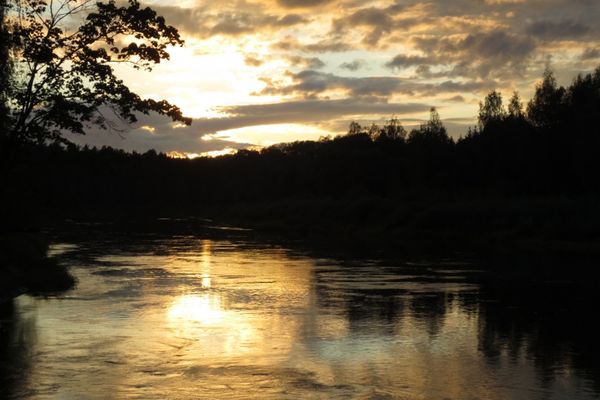
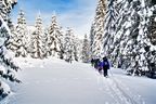
Best time to go April–October. Especially recommended during the blooming of bird-cherry trees or the colourful autumn. Provided the snow is not too deep, it is also suitable for a beautiful winter day. Note the paths and forest roads are not cleaned from snow. |
|
|
Route Leisure Park “Rāmkalni” – Gauja – Katlapu Rock – Viesulēni – Lorupe Ravine – Laurenču iela – Kalna iela – Gulbju iela – Kalna iela – Šveices iela – L. Paegles iela – Cēsu iela – Raiņa iela – Sigulda Railway Station. |
|
|
Distance ~20 km |
|
|
Duration Including sightseeing — one day |
|
|
Difficulty level Easy–moderate. Highest terrain difference is on the banks of Egļupe and Lorupe Ravines. |
|
|
Road pavement Asphalt (beginning and end section of the route), forest roads, gravel roads, paths. |
|
|
Starting point/Destination Leisure Park “Rāmkalni” / Sigulda Railway Station, which is next to the Sigulda Bus Station (Ausekļa iela 6). |
|
|
Way marking Signposting and blazes in the section from “Rāmkalni” to Sigulda. In the vicinity of the Village Gauja there are no way markings at some places; therefore a local map and a navigation device would be useful. The way markings are placed for easy visibility coming from Sigulda. Pay attention in the junctions! Watch the installed way markings. |
|
|
Distance to Riga Starting point in “Rāmkalni” – 40 km. |
|
|
Public transportation A regional bus is running to “Rāmkalni”. Sigulda is on the railway line Riga-Valka. If you would like to go by bicycle, it is a 4 km distance from Inčukalns Railway Station to “Rāmkalni”. The train Riga-Sigulda operates 8-9 times per day. |
|
|
Worth knowing! Suitable trekking boots (or an MTB/trekking bicycle) and a map for the section “Rāmkalni”-Sigulda is recommended. Navigation devices might be useful. Prior to heading off, one should visit the information point in “Rāmkalni”. Since the way markings have been ripped off in some places, one may lose the way when leaving the Village Gauja. Walking outdoors is at one’s own risk. Emergency services: 112. |
|
|
Recommendation Perfect start of a multi-day trip through Gauja National Park, and from Sigulda onwards it can be continued to Līgatne, Cēsis, and Valmiera. |

 |
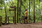
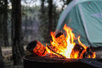
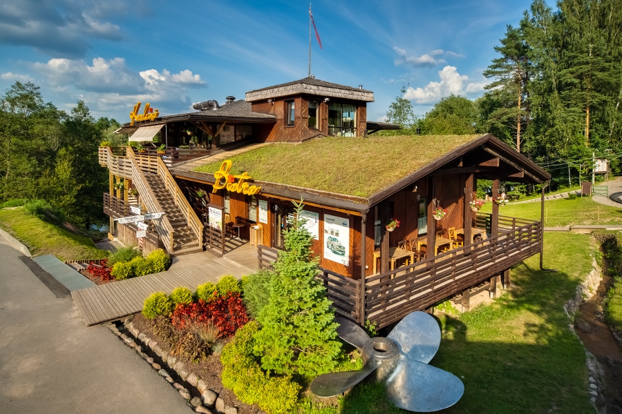
1. Leisure Park “Rāmkalni” |
 |
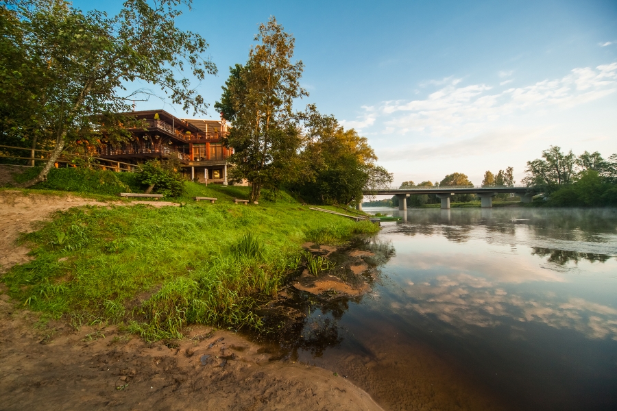
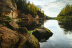
2. Primeval Valley of the River GaujaSandstone outcrops, often called rocks by the locals, dating back to the Devonian Period are among the key natural and landscape values and tourism sightseeing objects of the River Gauja and its tributaries. They are also found in most of its tributaries, the valleys and ravines of which merge with the primeval valley of Gauja. Small sandstone outcrops can also be found on this route. One of such is seen near Rāmkalni, where a spring has formed a cave of the same name. |
|
|
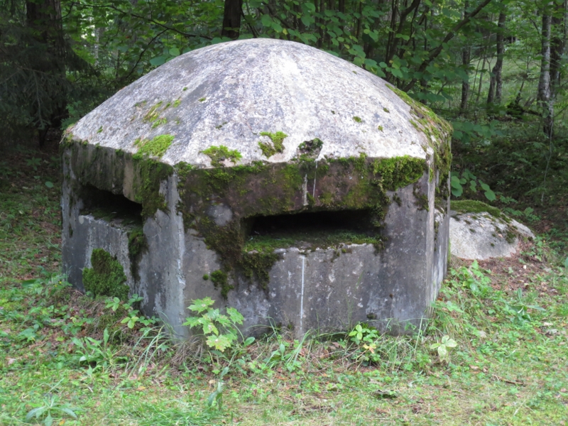
3. Dating back to World War I |
 |
4. Village Gauja |
|
|
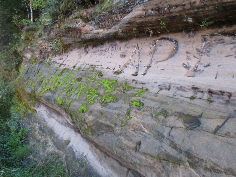
5. Katlapu RockThis is the largest sandstone outcrop in the section of Gauja primeval valley from “Rāmkalni” to Sigulda, located on the left bank of the River Gauja. Next to it there is a camper site, picnic place, information stand. From Katlapu Rock there is a view over the primeval valley of Gauja. If looked at from the river, there are traces of spring ice on the surface of the outcrop. |
|
|
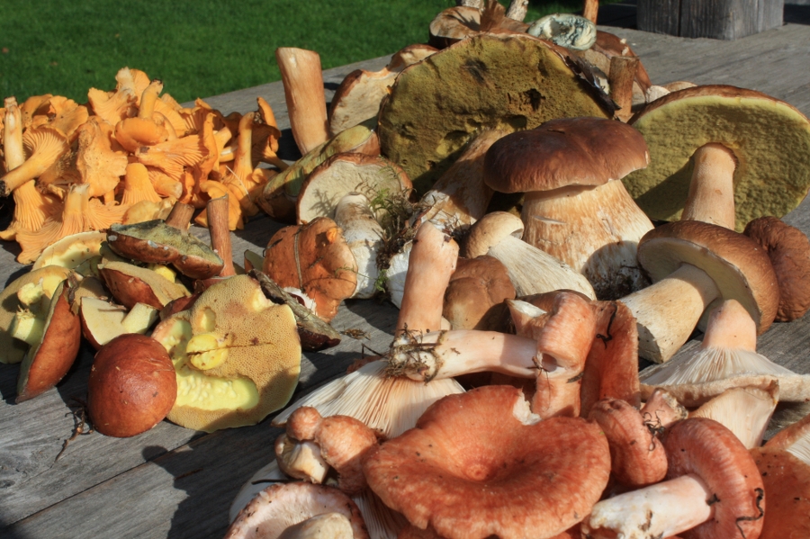
6. Ziedleju CliffsLocated ~0.7 km to the east of the high-tension line crossing the River Gauja. The ca. 40 m long cliffs are located on the bank of Gauja oxbow lake; therefore, they are not visible from the river or the road where the route is going. The two-level cliff (4.5 + 4 m) consists of the reddish sandstones from Gauja suite. The upper level features a 5.5 m wide and 3.5 m deep cavity and a 3.5 m long cave. Around Ziedleju Cliffs, there are nice places to watch and pick wild mushrooms. Pay attention! Decayed trees and deadwood, including with traces by woodpeckers. |
|
|
7. Lorupe Ravine |
|
|
8. Ķeizarskats and ĶeizarkrēslsOpposite of Piķenes Cliff on the left bank of the River Gauja, there is the massive Beites Cliff, which is crossed by a deep ravine of a brook. On its western side, there is the viewpoint Ķeizarskats or the View of an Emperor, which is located ~67 m above the level of the River Gauja offering an outstanding view towards Krimulda and Turaida Castle. While on the eastern side of the ravine, there is the large wooden chair Ķeizarkrēsls or the Seat of an Emperor. To get there, one shall walk (drive) around the ravine along the Laurenču, Kalna and Gulbju Streets. |
|
|
9. Mound KaķīškalnsFrom top of the mound, there is a very good view over the primeval valley of the River Gauja. |
|
|
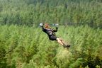
10. Sigulda Bobsleigh and Luge Track |
|
|
11. Lakstīgala RavineDeep ravine with a small brook dividing the left initial bank of the primeval valley of the River Gauja. On the southern side, there are stairs leading down to the riverside. |
|
|
12. Sigulda Local Skiing TrackExcellent place for views and photos, where the true power of the primeval valley can be felt. |
|
|
13. Cable car |
|
|
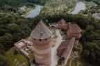
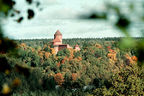
14. ViewpointLocated next to the cable car station on top of the left bank of the former bank of the River Gauja and presenting a beautiful view northward over the primeval valley of the River Gauja and Turaida Castle. |
|
|
15. Park of Walking-sticks |
|
|
16. Sigulda Railway Station |


.jpg?w=144&h=96&mode=crop)